GPS coordinates: -28.58333, 28.42751 (click here for the google map location)
Directions from Clarens (through R711):
The Domaine can be tricky to find once you hit the dirt road, please read our directions carefully. Domaine Sérénité is ~ 25-30 min drive from Clarens. 4×4 vehicles are advised during the rainy season. Speed limit on dirt road is 15 km/h.
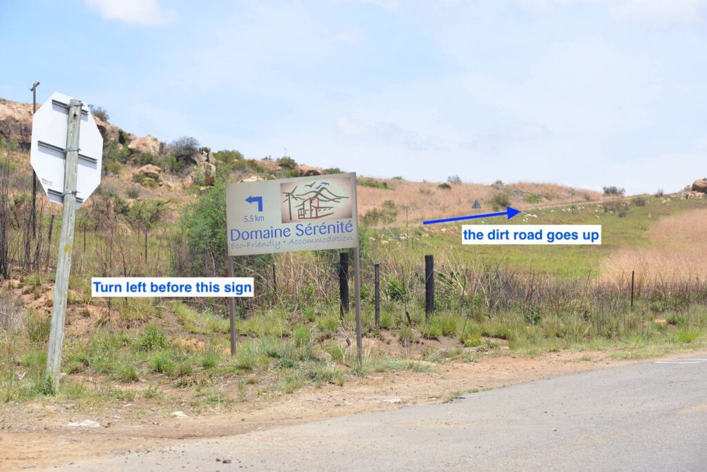
- From the T junction in Clarens, take the R711 towards Fouriesbourg for 12.5 km (~ 8min), then turn left just before the Domaine Sérénité sign (see red star on google map and picture below).
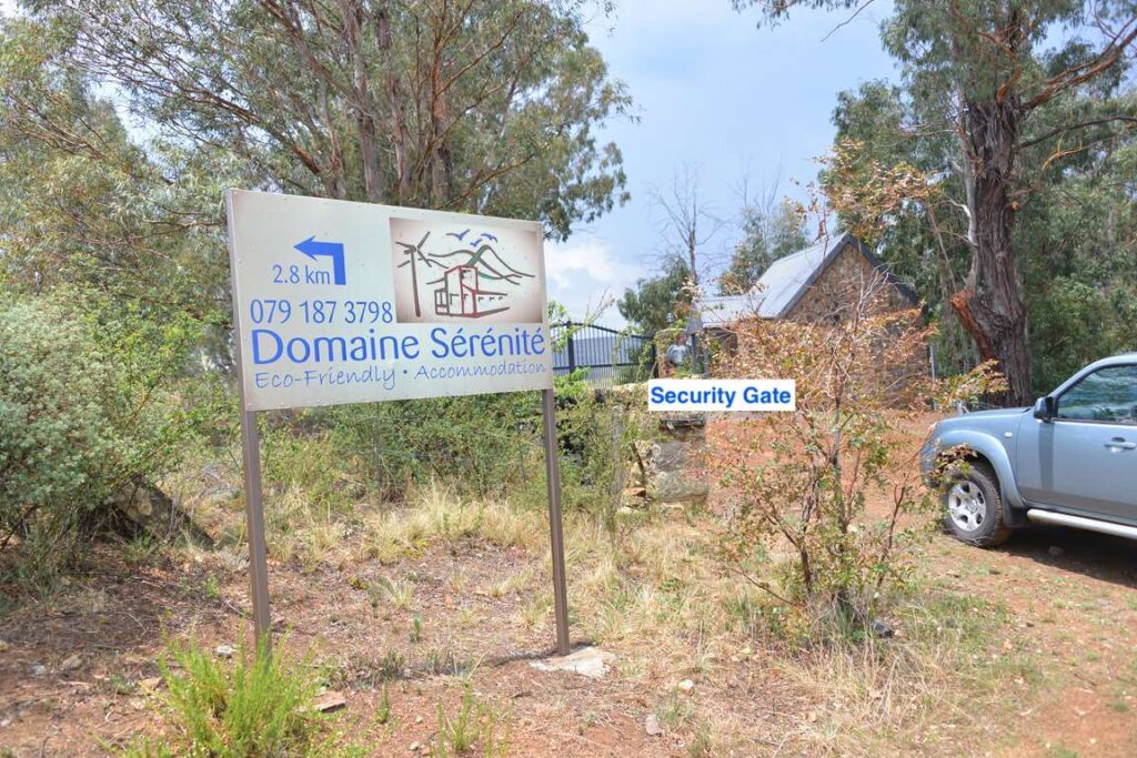
2. You are now starting on the dirt road. Continue straight up. After 2.8km you will find a security gate (a security gate is present from 6am – 6pm. Outside those hours, make sure you close the gate behind you).
3. After the gate, continue straight, the path will go down, you will see a property on the left, and on the right, continue straight for 650m.
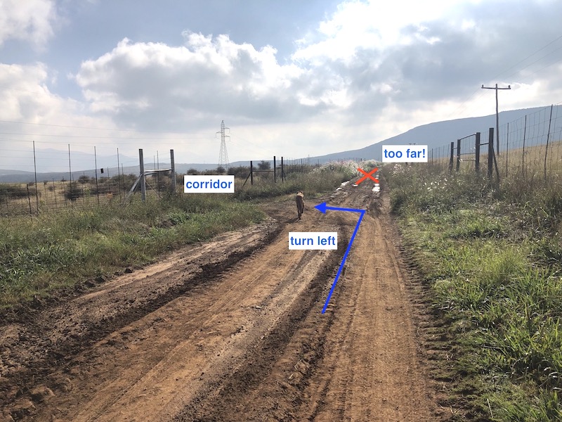
4. Turn left into a passage way, or corridor, which is surrounded by high game fences. If you have not turned left and if you enter a farm house you have gone too far! You should be able to spot the two water tanks and the wind turbine.
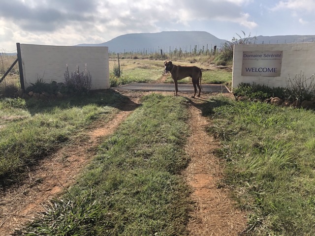
5. Continue straight into the passage way for 900m. The road will then veer right, then you will cross a cattle grid. You have now entered the Domaine Sérénité! Studio Cubique is the first building on the left hand side, for Cottage Goji continue down the path on the right, it is the last building facing the mountains.